Köyceğiz-Dalyan Özel Çevre Koruma Bölgesi’nin sınırları doğuda Ortaca ilçesinden batıda Ula ilçesinin sınırlarındaki Namnam Çayı’na, Kuzeyde ise Sandras Dağı’na kadar uzanmaktadır. Bu sınırlar içinde Köyceğiz ilçe merkezinin yanı sıra, Dalyan, Beyobası, Toparlar, beldelerive on dört köy yer almaktadır. Ortaca ilçe merkezi ise bölgenin doğu sınırını oluşturmaktadır. Bölgenin içinden geçen D-400 Otoyolu bölgeyi batıda -o da bir özel çevre koruma bölgesi olan- Gökova Körfezi, doğuda ise Dalaman ve Fethiye’ye bağlamaktadır.
Settlements in the region
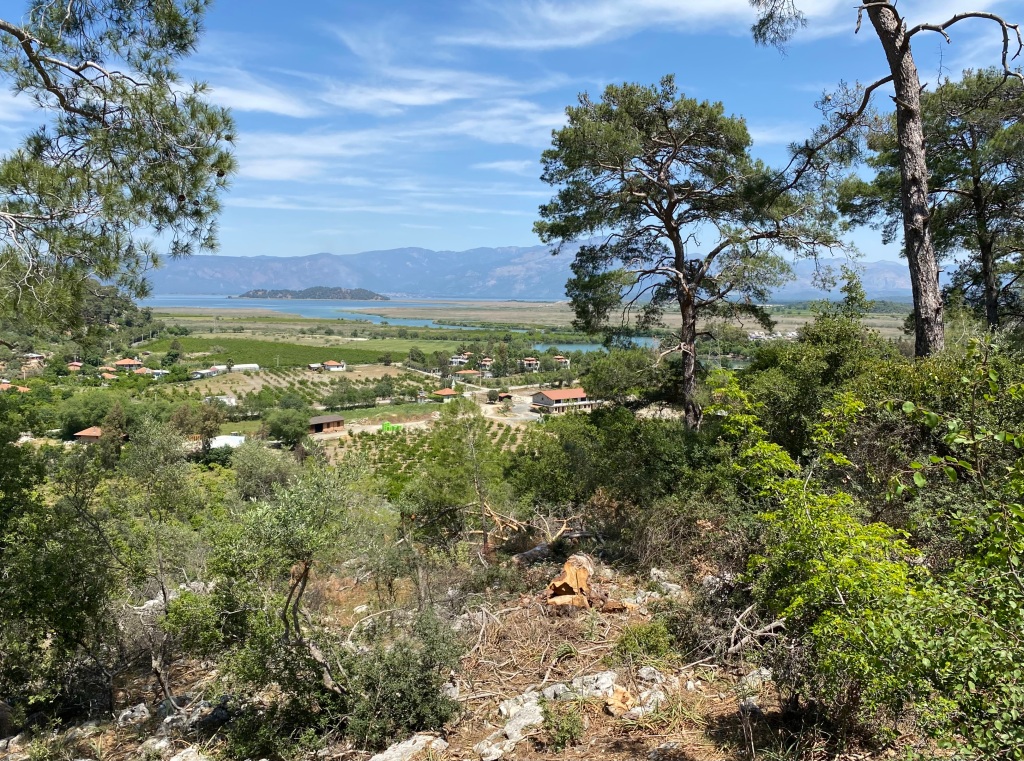
Köyceğiz – Dalyan Special Environmental Protection Area extends from Ortaca district in the East to Namnam Stream within the borders of Ula district in the West and Sandras Mountain in the North. In addition to the Köyceğiz district center, there are Dalyan, Beyobası, and Toparlar towns and fourteen villages within these borders. Ortaca district center forms the Eastern border of the region. The D-400 Highway, which passes through the region, connects the region to Gökova Bay, which is also a Special Environmental Protection Area, in the west, and Dalaman and Fethiye in the east.

